Explore the Corridor
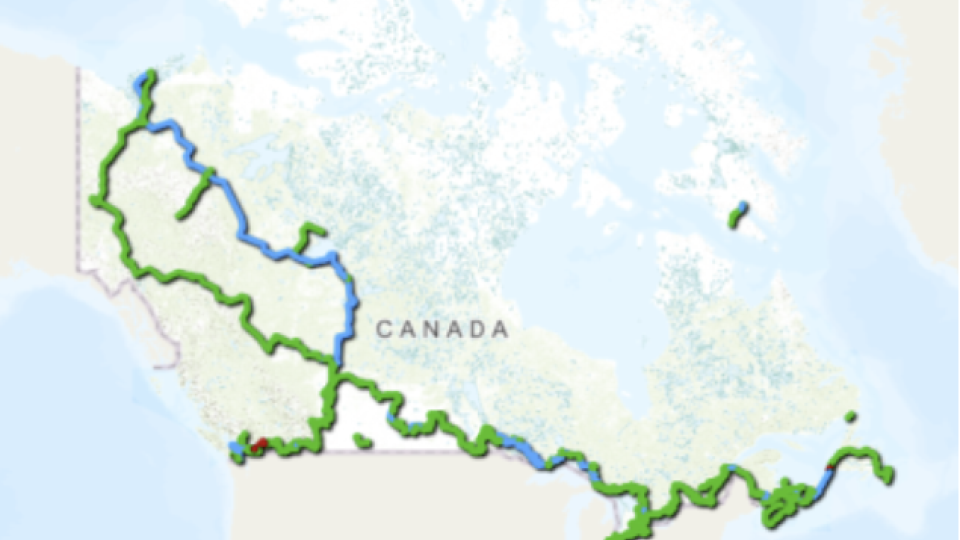
The Sea to Sky Trail is one of the Squamish-Lillooet Regional District’s (SLRD) signature recreation features. Stretching 180 km from the Squamish waterfront to D’Arcy, the trail connects the Pacific Ocean in the south to the Coast Mountains in the north.
Along the trail, visitors can experience waterfalls, rivers, forests, and mountain views, including popular destinations such as Brandywine Falls and the Callaghan River.
Sea to Sky Marine Trail
In 2015, the Sea to Sky Marine Trail became the first saltwater trail added to the Trans Canada Trail. Through traditional Squamish Nation pathways and trade routes, the trail also connects to the Lower Mainland and Sunshine Coast.
The non-motorized, multi-use trail is open year-round for:
- Walking and running
- Hiking and biking, including some sections designed for adaptive mountain biking (aMTB)
- Snowshoeing and cross-country skiing in winter
Some sections near Squamish, Whistler, and Pemberton — including the Valley Trail, Squamish Corridor Trail, and Pemberton Highway 99 Trail — are maintained year-round with snow clearing and debris removal. Some areas are also paved to improve accessibility for wheelchairs, strollers, and other mobility devices.
Partners

Trans Canada Trail
Trail Maps and Navigation Resources
Planning a trip on the Sea to Sky Trail? The following online resources are commonly used by hikers, cyclists, runners, and other trail users to explore routes, check trail conditions, and plan ahead.
Official SLRD Trail Maps
Access official Sea to Sky Trail maps, route information, and downloadable resources from the SLRD.
Trailforks
Popular with mountain bikers, gravel riders, and multi-use trail users for detailed trail maps, route planning, and trail condition reports. www.trailforks.com
AllTrails
A commonly used app for hiking, walking, and general trail navigation. Includes user reviews, photos, and route tracking features. www.alltrails.com
Gaia GPS
A navigation and mapping tool often used for offline maps, backcountry travel, and longer route planning. www.gaiagps.com
Travel Safely
Trail conditions can change due to weather, snow, heavy rain, maintenance work, wildlife activity, or temporary closures. Before heading out:
- Check current trail and weather conditions
- Download or carry maps in advance where possible
- Carry appropriate gear, tools, first aid supplies, food, and water
- Wear appropriate clothing for changing conditions
- Respect trail signage, closures, and other trail users
- Be aware that some trail sections are rugged, remote, and far from services
- Tell someone where you are going and when you expect to return
- Note that cell service may be limited in some areas
- Pack out all garbage and food waste to help protect wildlife and the environment
When travelling on sections along Highway 99 or local roads:
- Pay attention to traffic
- Ride single-file
- Obey the rules of the road for your safety and the safety of others